
state: 1/3
Miles: 1691
Favorite part: Sierra Nevada
Hardest Part: Long water carries in the desert and northern California blues.
The Desert: Mile 0 - 700
I got a ride from San Diego to Campo, a town bordering Mexico. By bordering I mean, we literally got to the wall that Trump built, touched it, and began our journey north. Prior to this day, I didn’t do much training. I’ve always tended to be active and in good physical shape, so when we started hiking, I thought to myself “This is just hiking, it can’t be that bad”.
That’s when things went wrong. Within the first 6 miles, one of the guys we were hiking with, slipped, fell down a small hill, and cracked his head open! The next thing I knew, he was getting airlifted and taken to the closest hospital. Day one did not turn out as expected.
The following weeks didn’t fare too well either. My feet swole almost 2 full sizes which resulted in my toes being covered in blisters and the loss of a few toenails. After making a strategic move to throw out my brand-new pair of hiking shoes and buy bigger and lighter ones, things started looking up. The miles hiked per day started increasing and I met really cool people. We ended up hiking together most of the way.
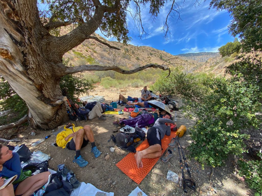
Through the desert, I was surprised by the different types of desert landscapes. Prior to hiking this section and being completely oblivious, I had pictured a flat desert with never-ending sand and intolerable temperates. As I came to find out, I was very wrong about it being flat and sandy, but, unfortunately, I was right about the temperature. As we continued hiking and learning the ways of the desert, we soon realized we needed to capitalize on the morning hours and hike as much as possible prior to the sun coming up. Once 11 am came around, we would resort to finding any shade possible and camping out until the late afternoon, when the temperatures would drop again and our adventure could continue.
This routine went on for the majority of the 700 miles. with scorching days constantly beating us down I eventually got so dehydrated that keeping food down became impossible. needless to say, the oatmeal packets I would eat every morning now repulsed me. The miles between Tehachapi and Kennedy meadows could not pass by faster. Spirits were dwindling and my overall energy was very low.
After 700 miles of pure desert heat, scarce water, constant daily naps, and night-time hiking to avoid the sun, we finally reached the Sierra Nevada. A milestone we were all dreaming of! This meant the end of the agonizing heat, the beginning of endless water sources, and the constant magnificent views. The only slight downside to this section was the steep climbs.
Sierra Nevada: Mile 700 - 1017
The Sierras welcomed us as nicely as they could.. with a full pack, a new heavy bear canister, and a massive mountain pass. Adding this new bear canister, a bigger food carry, and a mountain pass every day, was a big challenge. But, to be honest, this was so much better than the desert.
Each day proved to be physically challenging, but, mentally, we were all in a better state. The mountains provided us with amazing views and the water carries were non-existent. our trail family continued to bond over the adventure we were on and for a brief moment, everything was working out perfectly. That’s when the mosquitos decided we were having too much fun and they had to intervene. after every pass, once we dropped a couple of hundred feet, the mosquitos became overwhelming. we could not stop without getting eaten alive. When we did finally stop to eat or rest, they would swarm us to the point where a mosquito head net was needed at all times.
this eventually slowly drifted into a less infested part of the trail. to be honest, I’m not entirely sure if it was less invested or if we just eventually got used to it.
We finished the Sierra section and were now stepping into northern California. sometimes referred to as “the Northern blues”.

Northern California: Miles 1017 - 1691
By the time we reached northern California, I was mentally drained. We had hiked more than half of the trail and for some reason, we were still in the SAME state! I guess I never realized how long California really is. I was starting to see why this section is called the Northern California Blues. Hikers start quitting, fire season comes into full effect and your body starts to feel the consequences of non-stop hiking.
Not to dismiss it too fast, but there are some great towns in this part of the trail and the views continue. Passing Mt. Shasta, Truckee, and other fun towns, some people did enjoy this section. For me, I was mentally tapping out. California seemed to never end, my feet started getting way worse and continuous heat warnings and awful air quality from all the forest fires started getting to me.
It’s times like these where I was grateful for my trail family. we had been hiking more than 1000+ miles together and by this point, I couldn’t really picture the hike without them. I realized it’s way easier to overcome hard times when you have someone beside you helping you laugh at all the shitty things going on around you.
When we finally made it past the California/Oregon border we decided that the best way to celebrate was to take a few days off in Ashland, splurge on a nice Air BnB, and indulge in delicious food for a few days.
